Peshastin Creek Forest Service Road Improvement
|
|
| Funding |
|
|
Salmon State Projects:
|
$265,000
|
|
|
Total RCO Grant:
|
$265,000
|
(73%)
|
|
Sponsor Match:
|
$100,000
|
(27%)
|
|
Total Agreement:
|
$365,000
|
(100%)
|
|
|
|
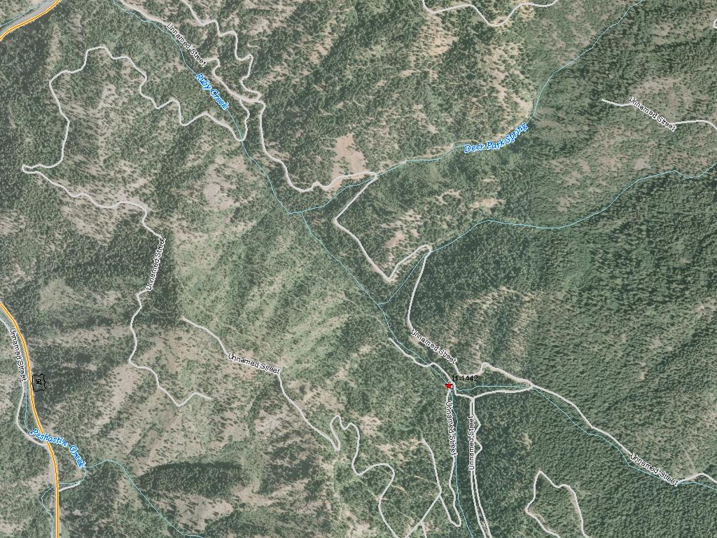
The Chelan County Natural Resources Department will use this grant to reduce road-related impacts to creeks in the Peshastin watershed. Roads can damage stream habitat by constricting the floodplain width, blocking fish migration, altering the flow of streams and causing erosion. About 65 miles of roads managed by the U.S. Forest Service will be abandoned and restored, relocated out of floodplains or otherwise improved to reduce sediment input into streams, improve fish passage and improve floodplain function. Work will target Peshastin Creek and its tributaries. Peshastin Creek is a tributary to the Wenatchee River, entering the Wenatchee downstream of the town of Peshastin. The creek is home to spring Chinook salmon, steelhead and bull trout. The Forest Service will contribute $100,000 towards this project.
|
|
General Area:
|
|
Near Blewett Pass
|
|
County:
|
|
Chelan
|
|
Legislative District:
|
|
12
|
|
Congressional District 2022:
|
|
08
|
|
Salmon Recovery Regions:
|
|
Upper Columbia River
|
|
Watershed Administrative Unit:
|
|
Blewett
|
|
HUC8:
|
|
Wenatchee (17020011)
|
|
WRIA:
|
|
Wenatchee
|
|
Sections:
|
|
06
|
|
Township:
|
|
T22NR18E
|
|
Coordinates:
|
|
47.43459260
-120.63538064
|
|
|
| Worksite Name | Scope of Work | Proposed Restoration Cost |
|
Peshastin watershed (#1)
|
Architectural & Engineering (A&E), Obtain permits, Road abandonment (C.6.d.1), Road drainage system improvements and reconstruction (C.6.c.1)
|
$365,000
|
| | Total | $365,000 |
Amounts may not be complete
| Worksite Name | | Property Name | Landowner Type |
|
Peshastin watershed (#1)
|
|
Property 1 - Peshastin Roads
|
Federal Government
|
| | | | Total |
Amounts may not be complete
| | Category / Work Type / Metric | Estimated |
Restoration Metrics (rolled up from Worksite level) |
Upland Habitat And Sediment Project |
| Road drainage system improvements and reconstruction (C.6.c.1) |
|
|
Miles of Road Treated for drainage improvements and reconstruction (C.6.c.2)
|
30.00
|
| Road abandonment (C.6.d.1) |
|
|
Miles of Road Abandoned (C.6.d.2)
|
35.00
|
Permits |
| Obtain permits |
|
|
Number of permits required for implementation of project
|
6
|
| Permit Type | Applied
Date | Received
Date | Expiration
Date | Permit Number |
|
NEPA
|
06/01/2011
|
|
|
|
|
Dredge/Fill Permit [Section 10/404 or 404]
|
|
|
|
|
|
Endangered Species Act Compliance [ESA]
|
|
|
|
|
|
Water Quality Certification [Section 401]
|
|
|
|
|
|
Cultural Assessment [Section 106]
|
|
|
|
|
|
Hydraulics Project Approval [HPA]
|
|
|
|
|