Omak Creek Watershed Restoration
|
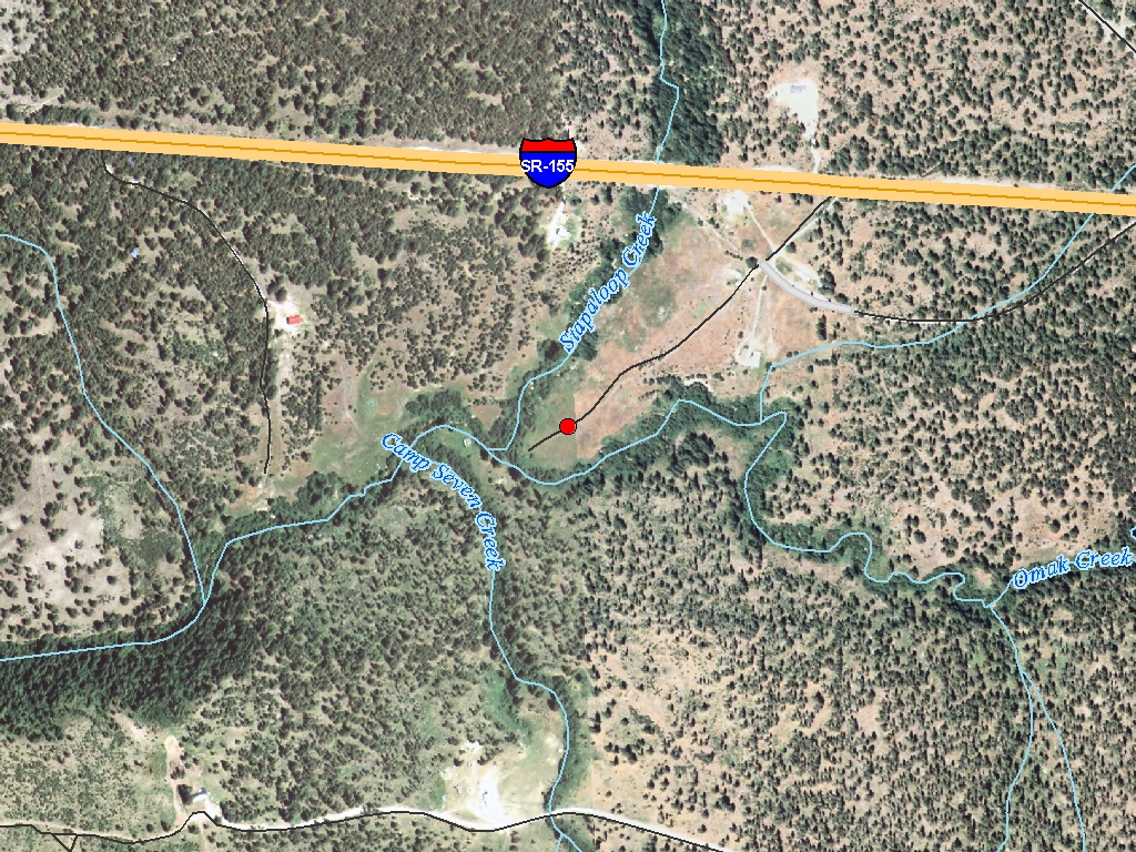
Omak Cr, tributary to the Okanogan R., lies within the Colville Indian Reservation & contains ESA endangered summer steelhead. The Omak Cr. Watershed Plan & Environmental Assessment identified natural resource problems resulting in high sediment & increased water temps. Roads were identified as the leading factor of increased sediment yield within the Omak Cr. watershed. Sediment yield was also suspected to be high from the uplands due to sparse vegetative cover caused by poor distribution of livestock & season long grazing. Bank failures due to the high sediment load not transported though the system causes lateral channel migration & puts culverts in the road system at risk of failing & delivering sediment. Approx. 8 miles of road have been identified in the Stapaloop Cr. drainage, a tributary of Omak Cr. The road sections were selected based on condition, utility & location. Most road sections showed signs of severe erosion. A deferred rotational grazing system will be implemented to reduce water temperature & sediment yield. Four miles of fence will create multiple pastures which livestock will be rotated through annually & exclude them form the riparian area. This system will be facilitated by 15 spring developments and 3 hardened rock crossings. All management techniques will be implemented according to NRCS standards. Decommissioning roads & implementing grazing strategies are actions that will continue a larger effort to restore salmon habitat in the Omak Cr. basin
|
|
General Area:
|
|
Omak
|
|
Waterbody:
|
|
Okanogan River, Omak Creek
|
|
County:
|
|
Okanogan
|
|
Legislative District:
|
|
07
|
|
Congressional District 2022:
|
|
04
|
|
Salmon Recovery Regions:
|
|
Upper Columbia River
|
|
Watershed Administrative Unit:
|
|
Disautel
|
|
HUC8:
|
|
Okanogan (17020006)
|
|
WRIA:
|
|
Okanogan
|
|
Sections:
|
|
13
|
|
Township:
|
|
T33NR28E
|
|
Coordinates:
|
|
48.36278927
-119.25646489
|
|
|
| Worksite Name | Scope of Work | Actual Restoration Cost |
|
Stapaloop sub-basin (#1)
|
Other restoration activities, Upland livestock management (C.6.j.1)
|
$261,818
|
| | Total | $261,818 |
Amounts may not be complete
| Worksite Name | | Property Name | Landowner Type |
|
Stapaloop sub-basin (#1)
|
|
Property 1 - Property - Worksite #1
|
Tribal Government
|
| | | | Total |
Amounts may not be complete
| | Category / Work Type / Metric | Final |
Restoration Metrics (rolled up from Worksite level) |
Upland Habitat And Sediment Project |
| Upland livestock management (C.6.j.1) |
|
|
Upland Acres Managed for Livestock (C.6.j.3)
|
2.5
|
|
|
Number of Livestock Water Installations/Developments (C.6.j.4)
|
15
|
| Milestone Name | Target Date | Description |
|
Monitoring Started
|
07/02/2000
|
V* (technique to measure sediment in pools), grazing utilization
|
|
Project Start
|
07/01/2001
|
Update/project will start 11/01/2002
|
|
Construction Started
|
03/01/2003
|
Begin constructing fence
|
|
Construction Complete
|
03/31/2005
|
Completion of fence, 15 spring developments, 3 hardened rock crossings
|
|
Monitoring Complete
|
03/31/2005
|
Ongoing, track grazing annually, V* every 5 years
|
|
Agreement End Date
|
03/31/2005
|
|
|
Final Docs/Billing to Mgmt Agy
|
06/30/2005
|
|