Lower Icicle Reach-Level Assessment
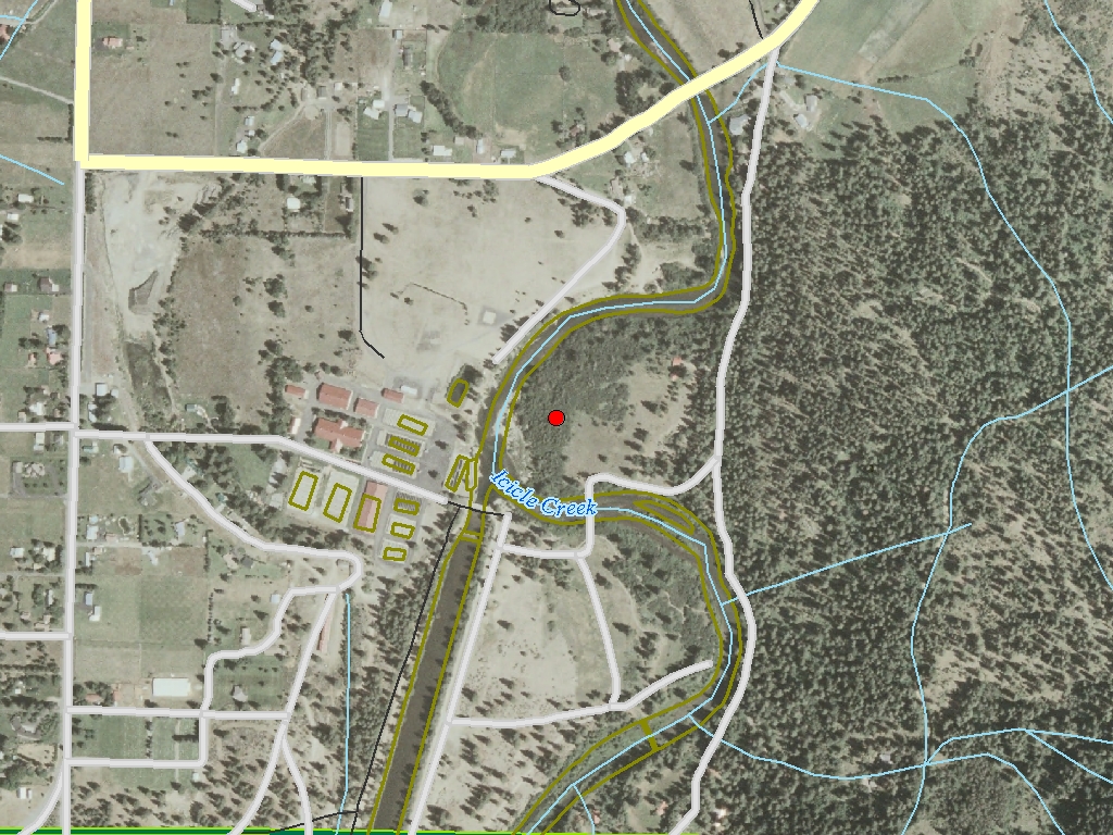
This proposal is for a reach-level assessment of the lower reach of Icicle Creek, which extends from the confluence with the Wenatchee River to the Leavenworth National Fish Hatchery (LNFH; 2.8 river miles). This reach is utilized by chinook, steelhead, sockeye, and bull trout, and is the focus of coho reestablishment efforts by the Yakama Nation. Current floodplain use includes pasture and increasing residential development. Existing information includes watershed assessments, a limiting factors analysis, and biological and geomorphological/hydrological studies associated with the proposed restoration of the historic channel (River Mile 2.8-3.8) at LNFH. The primary data gap remains the lack of a reach-level assessment of physical processes on the lower reach. We propose to perform an assessment of lower Icicle Creek, using a protocol similar to that described by Rosgen as a Level 3 analysis, and synthesize data obtained together with existing information to develop a restoration and protection strategy for the reach. Proposals for restoration on this reach have been rejected previously by SRFB due to a lack of supporting information on reach-level processes. A major habitat acquisition in this reach was funded by the SRFB, and potential restoration of that habitat will be impeded without the proposed assessment. Completion of the assessment, and a restoration and protection strategy, will facilitate coordinated efforts to restore floodplain function in the lower Icicle.
|
|
General Area:
|
|
Icicle Creek, tributary to the Wenatchee River. The reach begins at River Mile 0 and ends at approximately River Mile 2.8.
|
|
Waterbody:
|
|
Icicle Creek, Wenatchee River
|
|
County:
|
|
Chelan
|
|
Legislative District:
|
|
12
|
|
Congressional District 2022:
|
|
08
|
|
Salmon Recovery Regions:
|
|
Upper Columbia River
|
|
Watershed Administrative Unit:
|
|
Enchantment
|
|
HUC8:
|
|
Wenatchee (17020011)
|
|
WRIA:
|
|
Wenatchee
|
|
Sections:
|
|
23
|
|
Township:
|
|
T24NR17E
|
|
Coordinates:
|
|
47.55908671
-120.67056094
|
|
|
Amounts may not be complete
| | Category / Work Type / Metric | Final |
Restoration Metrics (rolled up from Worksite level) |
|
| |
|
|
Area Encompassed (acres) (B.0.b.1)
|
2560.0
|
Salmonid Habitat Assessment / Inventory |
| Habitat surveys (B.2.d) |
|
|
Acres of habitat assessed (B.2.d.2)
|
2560.0
|
|
| |
|
|
Miles of Stream and/or Shoreline Affected (B.0.b.2)
|
3.00
|
| Milestone Name | Target Date | Description |
|
Project Start
|
05/02/2003
|
|
|
Data Gathering Started
|
06/01/2003
|
|
|
Draft Rpt Reviewed by Mgmt Agy
|
01/31/2005
|
|
|
Final Report Completed
|
03/31/2005
|
|
|
Agreement End Date
|
05/01/2005
|
|
|
Final Docs/Billing to Mgmt Agy
|
08/01/2005
|
|